Welcome to Wingwise Aviation
Services We Offer
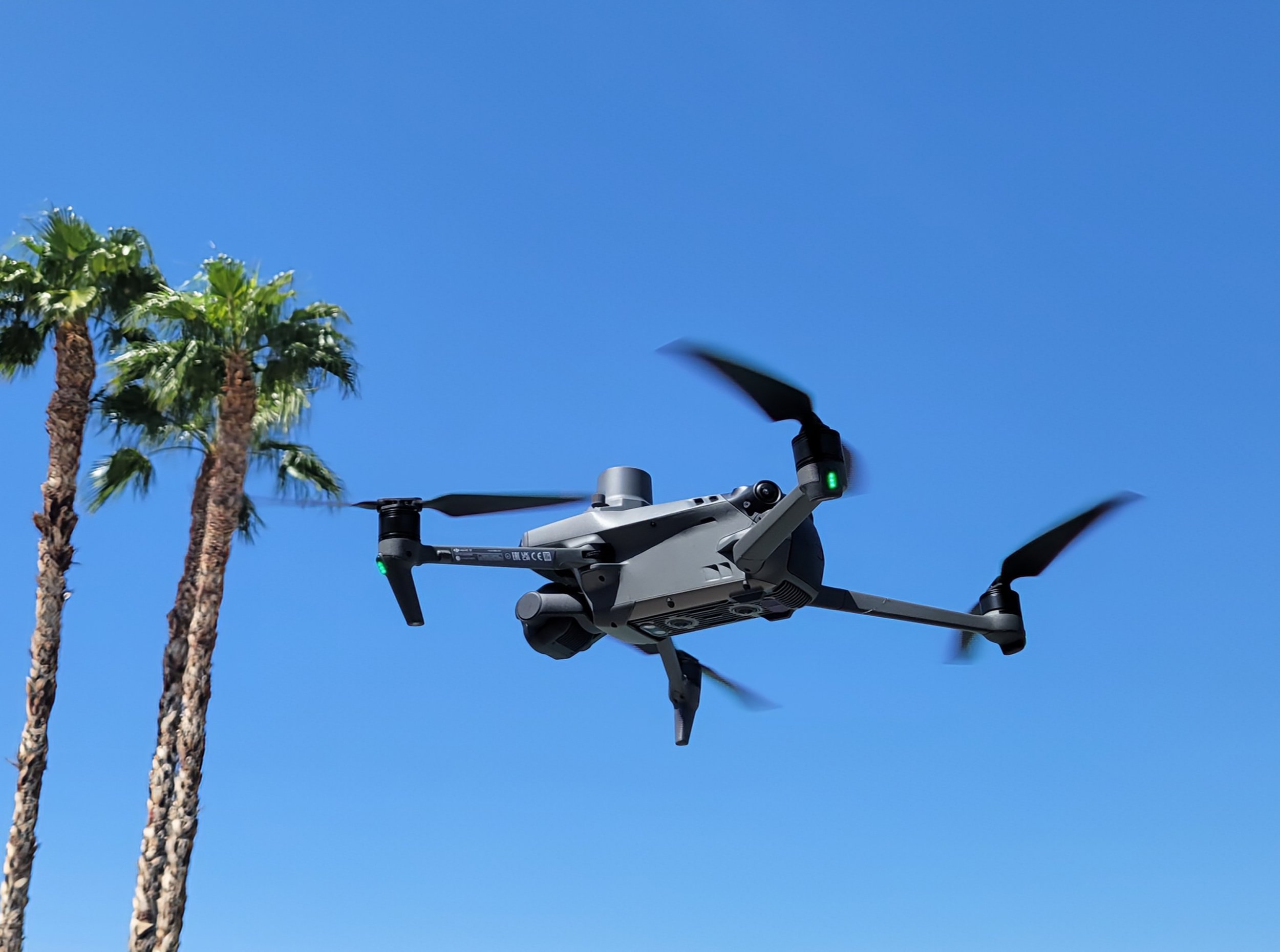
At Wingwise Aviation, we leverage advanced drone technology to provide a comprehensive suite of aerial services, including high-resolution photography and videography, precise 2D mapping, and thermal imaging. Our expertise also extends to critical operations like search and rescue, wildfire resilience and property protection, and telecom tower and pole inspections—ensuring swift data collection, enhanced safety, and informed decision-making for diverse industries and applications.
Aerial Photography & Videography
High-Resolution Footage: Capture 4K videos and stunning images from unique aerial perspectives.
Comprehensive Documentation: Provide detailed visual records for real estate, construction, and event coverage.
Advanced Stability: Utilize cutting-edge drone technology for stable, crystal-clear footage.
Customized Editing: Deliver tailored post-production services to enhance visual impact.
2D Mapping (RGB)
Accurate Surveying: Generate detailed 2D maps for planning and development.
High-Resolution Imagery: Utilize RGB sensors for clear, precise mapping.
Comprehensive Coverage: Quickly and efficiently map large areas for various projects.
Actionable Data: Provide easy-to-interpret outputs for infrastructure, agriculture, and environmental monitoring.
Thermal Imaging (IR)
Temperature Insights: Detect heat variations in solar panels, pipelines, and other systems.
Proactive Maintenance: Identify potential issues in building insulation and electrical components.
Noninvasive Methods: Conduct inspections safely and efficiently without disruptive procedures.
Detailed Reporting: Offer thorough thermal assessments for informed, timely repairs.
Thermal (Night Vision) Search and Rescue
Rapid Response: Every second counts—our drones are deployed immediately to cover vast areas.
Efficient Aerial Assessments: Quick, comprehensive surveys of challenging terrains.
Advanced Imaging: High-resolution cameras and thermal imaging pinpoint missing persons and dogs.
First Responder Support: Real-time data enhances rescue operations and decision-making.
Wildfire Resilience & Property Protection
Risk Identification: Aerial assessments to evaluate potential wildfire hazards on properties.
Detailed Imagery: High-resolution images capture the extent of affected areas.
Strategic Mitigation: Helps property owners, HOAs, and authorities plan effective damage control.
Quick Response: Enables faster decision-making for enhanced property protection.
Telecom Tower & Pole Inspections
Efficient Inspections: Advanced drone technology safely examines telecom towers and poles.
Precision Imaging: High-resolution cameras and navigation systems detect structural issues and corrosion.
Proactive Maintenance: Identifies maintenance needs without the risks of manual inspections.
Enhanced Reliability: Minimizes downtime and ensures robust, secure communications infrastructure.
Industries We Serve
Construction Monitoring
Ongoing progress monitoring and site documentation for construction projects.
Roof Inspections
Comprehensive roof inspections for damage assessment, maintenance planning, and insurance claims.
Solar Inspections
Maximize solar farm efficiency with high-resolution thermal inspections and aerial surveys that quickly detect panel issues and support long-term maintenance.
Real Estate Imaging
High-resolution imagery and videos that showcase properties from unique angles.
Agricultural Surveys
Crop health assessments, field mapping, and growth monitoring for efficient farm management.
Infrastructure Inspections
Inspections of critical infrastructure like Bridges, Pipelines, and Wind Turbine using high-resolution and thermal imaging.


